Geographic Information Systems (GIS)
Geographic Information Systems (GIS)
Working with OARC for GIS
GIS is a form of data analysis that utilizes spatial location and geographic data to produce visualizations, helping provide new insights into patterns and relationships. OARC offers research support services in GIS. Through consultations and workshop training sessions, we help scholars use GIS tools and software, data resources, analysis and visualizations to complement their research.
What can you create with GIS?
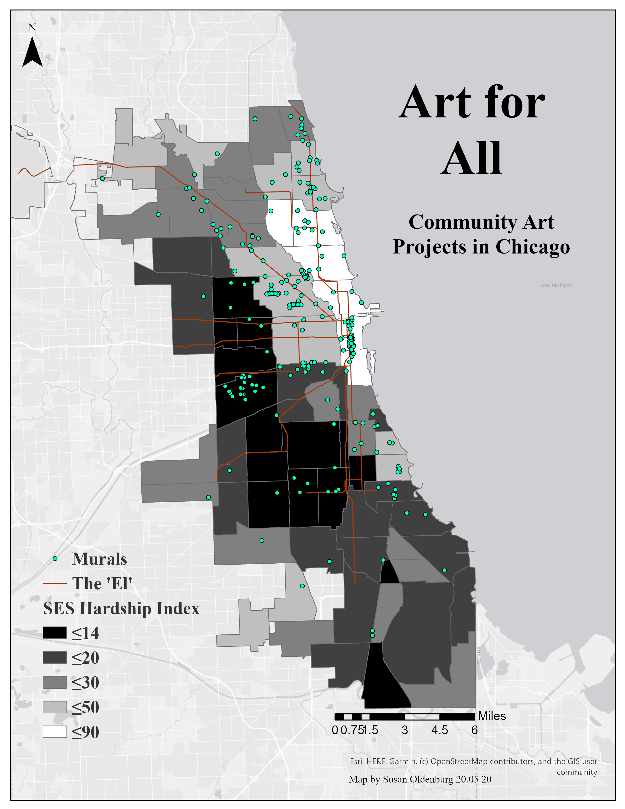
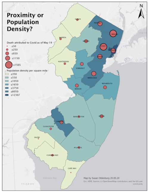
Two sample visualizations are shown below. Please contact Sue Oldenburg at gis-help@rutgers.edu with your GIS needs.

Chicago Art: “Considering the growth of public art in Chicago in relation to specific socio-economic variables of local community areas

NJ Covid: “Population density and proximity factors in NJ Covid-related deaths